Could a World War II system replace satellite navigation?

by Philippe Domogala
IFATCA Contributing EditorThe simple answer is yes! The old LORAN system could be reactivated to mitigate the many cases of satellite (GNSS / GPS) jamming and spoofing that have plagued aviation in recent years.
The USA developed LORAN (Long Range Navigation) in the 1940s during World War II. This hyperbolic radio navigation system was initially designed and used to guide shipping convoys across the Atlantic Ocean during and after the war. Like the British GEE system, it used lower frequency radio waves to give it a more extended range, up to 1500 miles. While this also meant it was not as accurate as the British system (to the order of tens of miles), it was considered acceptable: closer to shore, GEE could be used for short-range navigation. LORAN was accurate enough at longer ranges. In the second half of the 1950s, an upgraded and more precise version, called LORAN-C, became operational. It remained well-used until the mid-1990s despite being costly to run and maintain. Some 72 ground stations were established, spread all around the globe. Most of these stations were in remote, inhospitable places. They required extensive infrastructure, including personnel quarters, water and fuel tanks, communications equipment, and electrical generators to produce enough energy to broadcast signals of hundreds of kilowatts. LORAN-C became available to the general public in the mid-1970s. Still, by that time, alternative navigation systems, such as the inertial navigation system (INS) for long-range aviation, also began to gain ground. By the mid-1990s, with LORAN-C covering 70% of the globe, governments worldwide began decommissioning their ground stations.
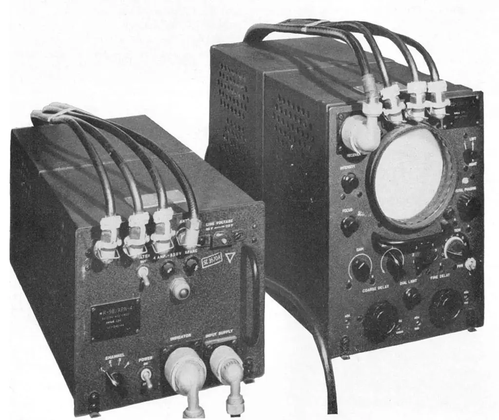
In 2009, following a discussion in the U.S. Congress on whether to upgrade the LORAN-C infrastructure to eLORAN (enhanced LORAN, which adds a data signal to the transmissions), the U.S. Navy decided not to maintain the system any longer. It transferred it to the Department of Homeland Security. The following year, transmission of Loran-C signals in the USA, Russia and Canada ended.
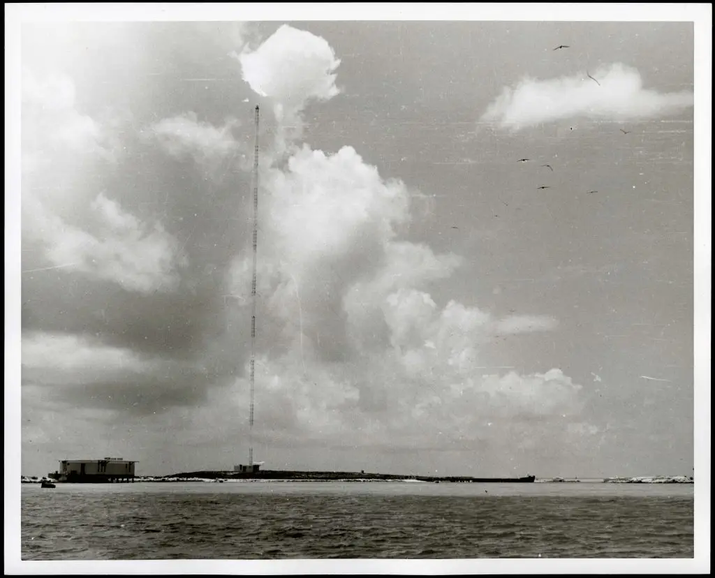


Despite this, in 2015, the U.S. House of Representatives reopened discussions on eLORAN and in 2018, President Donald Trump signed the National Timing Resilience and Security Act into law. It mandated establishing a land-based timing system to provide a backup to GPS. eLORAN could provide such a service, but rebuilding the abandoned (or even demolished) ground stations would be hugely expensive!
A significant advantage of eLORAN is that it is tough to spoof or jam, especially from a large distance. In contrast, the equipment required to spoof and jam GNSS must only mimic very low-powered satellite signals. Spoofing and jamming eLORAN requires very high-powered transmissions across a vast area. In addition, eLORAN implements an authentication system and broadcasts an anti-spoofing signal. It is considered secure and practically un-jammable, and can penetrate nearly all structures across all weather conditions. The reported accuracy is as good as 8 meters, making it competitive with unenhanced GPS. It also meets the performance requirements for non-precision instrument approaches in aviation.
Additional arguments for eLORAN are that it is a terrestrial-based system instead of requiring (expensive) geostationary satellites. eLORAN also operates in a very low-frequency band instead of GNSS working in the (very) crowed Ultra High Frequency band. As eLORAN uses high-power transmissions, its signals are three to five million times stronger than those of GPS/GNSS and have 99.999% availability and reliability. The signal can penetrate buildings, and works indoors and even underground/underwater. Lastly, it is largely unaffected by cosmic interference and space weather phenomena.
So, is it time to dust off the old 1960s receivers and go back to the future? Only time will tell.
More extensive information on the history of LORAN can be found on https://www.loran-history.info


